Cesium simulation of New York City skyline. Image provided by Analytics Graphics Inc.
At SIGGRAPH 2017 in Los Angeles, California, the ACM SIGGRAPH Cartographic (Carto) Visualization Bird of a Feather (BOF) session will highlight the future of digital mapping to support our daily lives. Presenters will demonstrate various solutions for interactive cartographic display and international mapping.
Enhancements to Cesium, an open source cross-platform virtual globe for dynamic data visualization, will be highlighted by Analytical Graphics Inc. The Geospatial Working Group of the Web 3D Consortium will also demonstrate their most recent efforts. ESRI will feature their ArcGIS 3D platform.
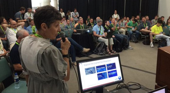
Prior ACM SIGGRAPH Carto BOF Presentation, Photo by Don Brutzman
The event will be held at the ACM SIGGRAPH Theater on Monday, July 31, 2017 from 1:30 to 3 PM. To be part of the CARTO BoF at SIGGRAPH 2017, register for the conference today!